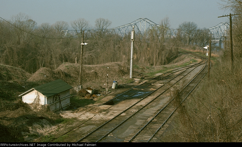
| This was the Missouri Pacific locomotive servicing area, as viewed from the South Canal Street (U.S. 84) bridge. The track passed over the approach to the Mississippi River bridge, and then descended down to the railroad's train ferry landing. |
| Date:
2/8/1975 |
Location:
Natchez, MS Map  |
Views:
2875 |
Collection Of:
  Michael Palmieri
 |
|
Author: Michael Palmieri
|
 |
| Picture Categories: Scenic,Track |
This picture is part of album: Natchez, Mississippi |